Opportunity for Adventure

While there are no races or group rides, now is a huge adventure opportunity. A time to dust off old routes and fill the bucket list with new ones!
On May 31, at 5:53 a.m. I set out to take on The Kracken. I knew this was really pushing the limit. The idea of doing a 200-mile Dirty Kanza tribute ride sounded awesome: I could get deep into the ultra-endurance zone and earn that post-ride crushed feeling without driving to Kansas.

I looked through the 190 routes I’ve created on Ride With GPS and Strava. One called to me. Buried deep in the back of the archives, there lurked The Kracken. It was not only the hardest of my gravel routes, but it was chock full of new-to-me mountains. The Kracken climbs 22,810 feet in 204 miles. ‘That’s the one!’ I was beyond stoked! Also, a bit nervous.

This tour-de-pain features some of the highest mountains in West Virginia. It travels past civil war sites and old lookout towers the US Forest Service used to watch for wild fires.
My love for big gravel has grown as the bikes have become more refined. The new Canyon Grail and Endurace make this adventure stuff so much fun to take on.

This crazy route had everything: valley farm sunrise, super remote gnarly mountain passes, and windswept open mountaintop vistas! I took off at exactly sunrise. I crossed the rolling gravel of the Shenandoah Valley in the crisp morning air. My route threaded through the mountains on some warmup climbs in the George Washington National Forest. I crossed into West Virginia, climbing up serpentine switch backs. The ascent of Sounding Knob, my first big test, was very remote. It started by crossing some cold, fern-lined streams. The climb was much harder than I thought it would be, especially with all the food for my day’s adventure loading me down. I had PB&J’s, some fruit twist treats, some oatmeal cream pies, and
of course, Mountain Dew the unofficial state drink of West Virginia. In addition to all the food, I had a water filter, tools, and a backup battery.

I hit the big bald expanse of the 4,400-foot Bear Mountain. The 360- degree view was outstanding! I descended toward Bartow, the only village I’d see for hours. I started steadily climbing up Brurner Mountain’s many gravel switchbacks. As I approached the turn to climb to the highest point in West Virginia (Spruce Knob) I was well in ultra-zone; 10 hours in, about 70% through the route, a bit dazed mentally, but moving good toward the top. Unfortunately, some sharp rock with an agenda had other plans for me.
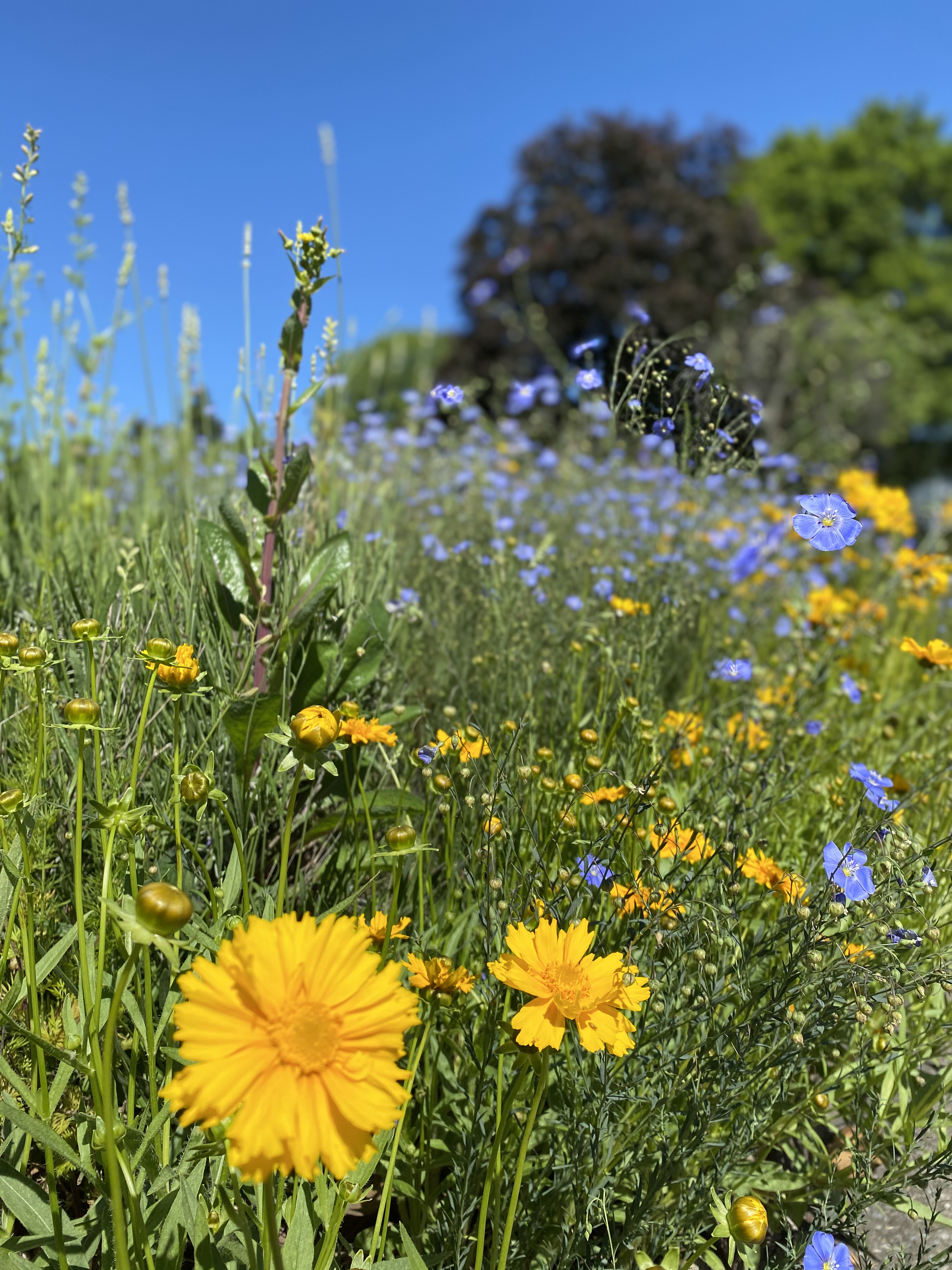
Flowers on point!
On rides this over-the-top there is always an unexpected challenge.
I suffered the worse kind of flat: a cut side wall. I had numerous tire plugs, two tubes, and a pump. I’d expected at least one flat along the way, and was prepared for more. The first fix worked, but the plug was rubbing the frame and I had no razor or knife to trim it with. I accidentally pulled it trying to cut it with my Mountain Dew can, making the hole worse. I had to tube it. This worked, but only for a half and hour of tender progress. I was in the middle of nowhere in the deepest forest you can imagine. I was late to the planned meeting point at Spruce Knob. Luckily, I ended up making it an hour to the pavement before riding some rim.
I tried to call my wife Erin who was ready to assist, but this area is in the National Radio Quiet Zone for the huge radio observatory in Green Bank. I literally had no cell signal for 100 miles. If you put a radio on search mode, it just circles through the stations on infinite repeat finding nothing. Erin and our kids had had driven from our house to Spruce Knob, where we’d planned to meet. Then they searched for me on the gravel road ascent. Eventually she decided to drive home, hopeful that I’d cut the route short and would be on the Virginia side of Shenandoah Mountain. Finally, I made it to Franklin, West Virginia where there is cell service and we were able to connect. I sat there, despondent on the side of the road. I was lucky they
came back and rescued me.

The Kracken did succeed in having me in the box and rewarded like Kanza. And I forged a keeper route that is super rad.
capability versus challenge.
This mission was more than I should have taken on, given the circumstances. It relied on things going perfect, or at least as-planned. I’d not properly considered that adventures this ambitious never go as planned.
Would I do it again? Hell, yeah. But I would prepare like it’s a bike-packing trip through Alaska.
Lessons learned:
When picking an adventure, you must create a solid plan. Part of this is by assessing capability versus the challenge. Secondly, you must factor in uncertainty and how that create a risk multiplier of the unknown. Lastly, have a solid emergency plan with some built-in redundancies. Admittedly, I had some additional back-ups built into my plan, but in my exhaustion I didn’t follow through with them.
I have solid fitness, a great bike, and I knew it was a low-traffic route. Normally I’d sign it a moderate risk level, but the 200+ miles pushed into a more likely for high-risk adventure. Looking back, the lack of cell phone service, plus the untested route, plus the pandemic-effect of not being able to jump in a car with a stranger for ride was the final thing that put my plan into the might-be-a-bad-idea RED Zone.
My plan had holes in it.
Will I do it again? Definitely. After I apply the lessons learned:
#1 Don’t mess with The Kracken. Understand it’s not a bike ride, but an expedition.
#2 Ride with a satellite phone or Spot Tracker. Get a prepaid phone SD card for all other carriers.
#3 Bring a spare tire!
At 2,656 square miles, Monogohala National Forest is big, and super awesome.
P.S. In a couple of days, I will finish the un-ridden portion of the route to see how the rest of it rolls.

